Iconic cone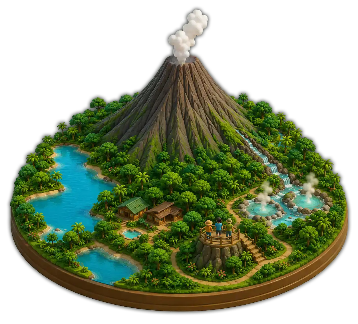
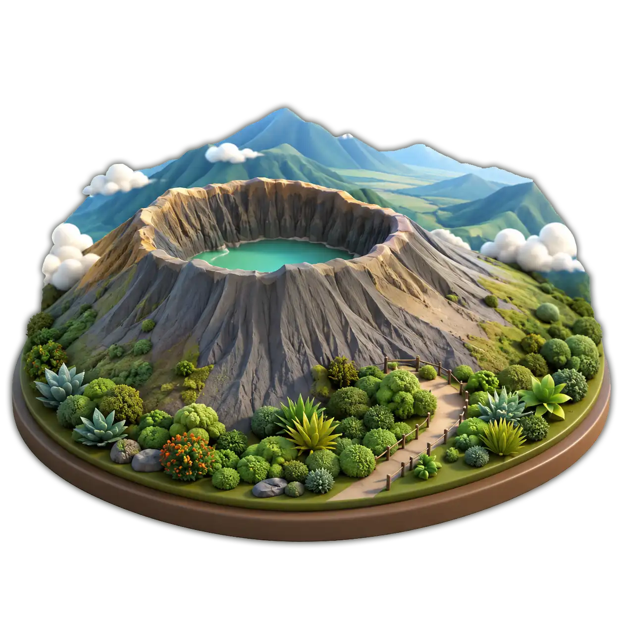
Arenal
The country's most photogenic volcano rises in a near-perfect cone over rainforest and a turquoise lake. The surrounding area is Costa Rica's hot-springs capital.
Hanging bridges, hot springs and lake kayaking
A small country shaped by mountains, valleys, forests, rivers, volcanoes and two very different coasts. In just a few hours, travelers move from highland valleys to tropical beaches, from volcanoes to rainforests, and from cloud forests to coastal plains.
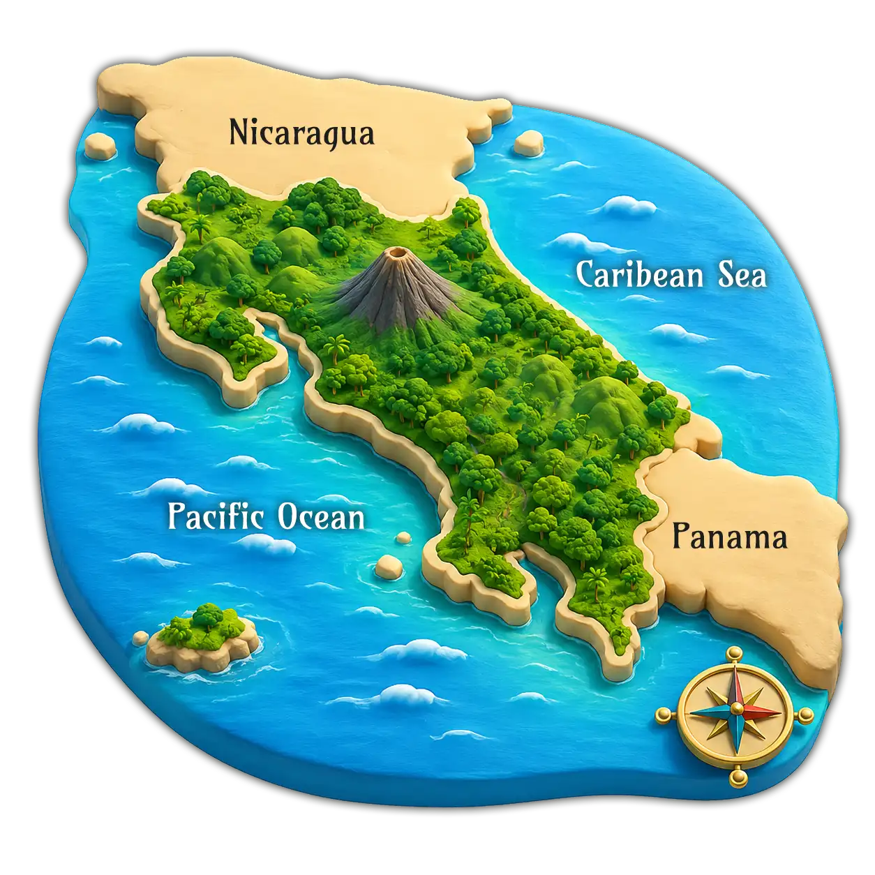
Costa Rica sits at the narrow heart of Central America, between Nicaragua to the north and Panama to the south, with coastline on both the Pacific Ocean and the Caribbean Sea. That double-coast position is the secret behind its climate variety, its biodiversity, and the way every region feels different.
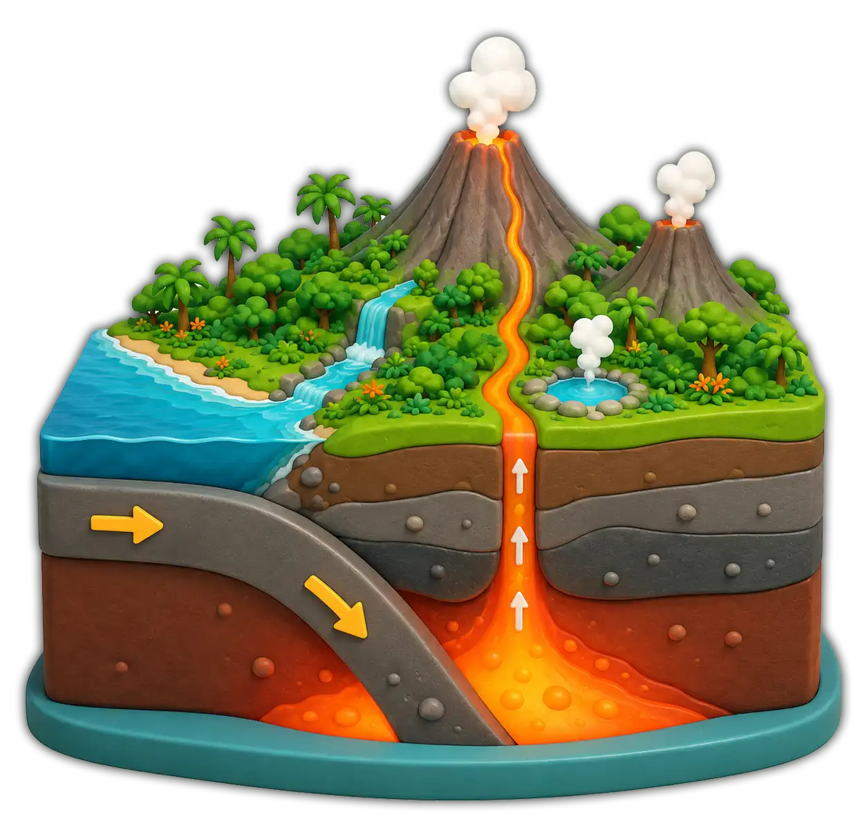
Costa Rica sits along the Pacific Ring of Fire, where two tectonic plates meet and grind against each other. That deep, slow collision pushes magma up to the surface — which is why the country has volcanoes, hot springs, fertile soils and such dramatic landscapes.
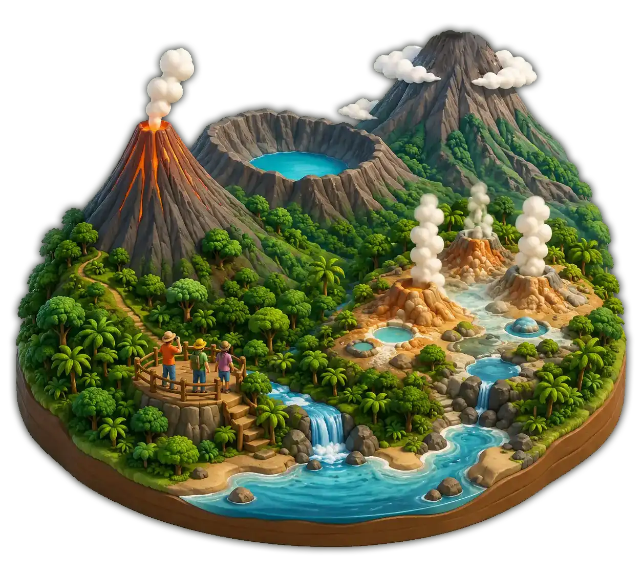
Five names you'll hear over and over while traveling. Each one anchors a different region — and a different kind of day.
The country's most photogenic volcano rises in a near-perfect cone over rainforest and a turquoise lake. The surrounding area is Costa Rica's hot-springs capital.
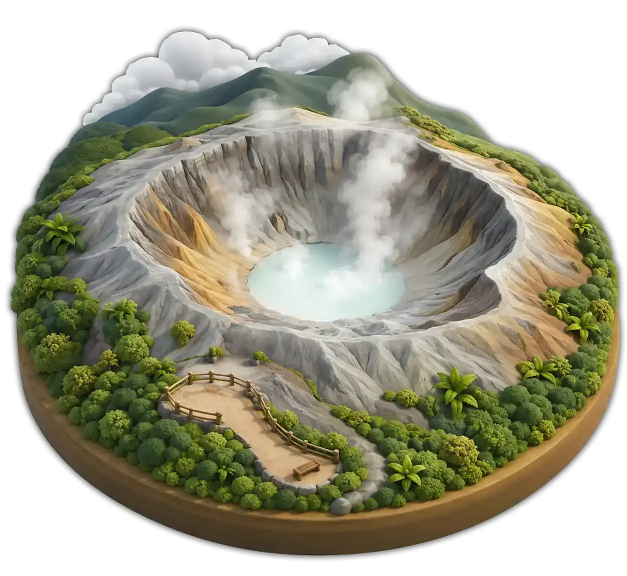
Home to one of the largest active craters on the planet, with a milky turquoise acid lake. An easy day trip from San José through coffee country.
The tallest active volcano in Costa Rica. On a clear morning the summit offers a rare view of both the Pacific and the Caribbean at once.
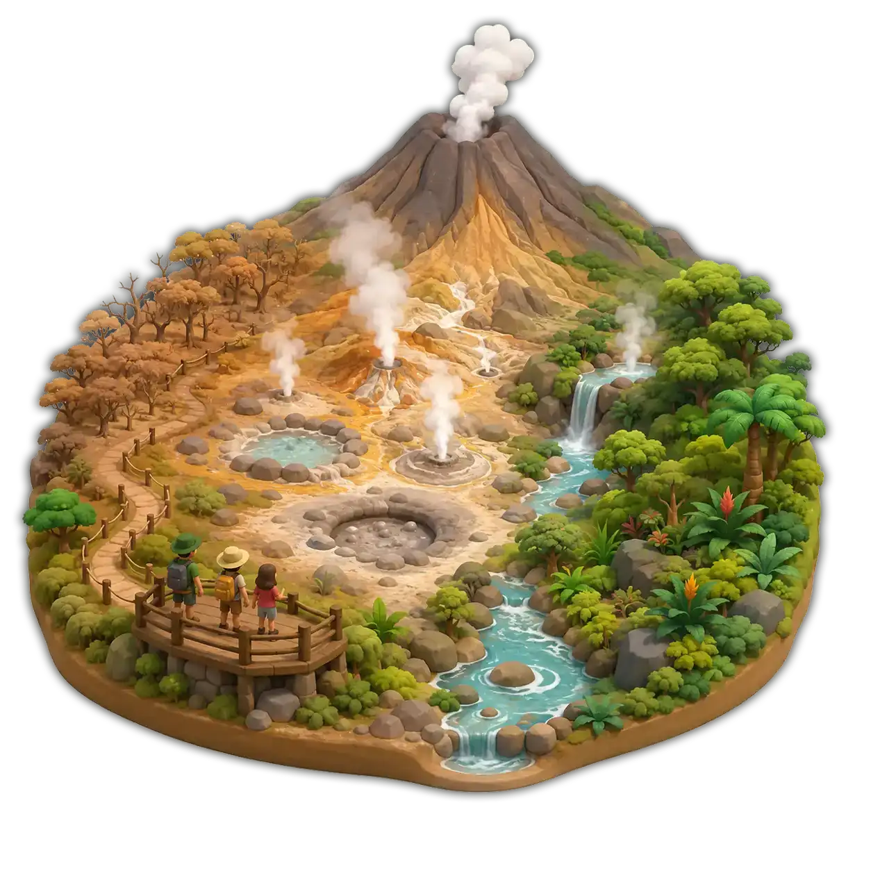
A vast national park of mud pots, fumaroles, waterfalls and dry-forest trails. Adventure central for the Guanacaste region.
A quieter neighbor to Irazú, set among dairy farms and cloud forest. Often viewed from a distance — and from coffee fincas below.
Costa Rica's mountains run the whole length of the country, splitting it into climates and shaping every drive, every view and every road.
The northern volcanic chain along the Pacific. Dry forest at its feet, smoking peaks at the top.
Cloud-forest country. The home of Monteverde, hanging bridges and the misty divide between Pacific and Atlantic.
Costa Rica's volcanic spine, wrapping the Central Valley. Coffee on the slopes, craters at the summits.
The wild south. No active volcanoes — instead the country's highest, oldest, most remote peaks.
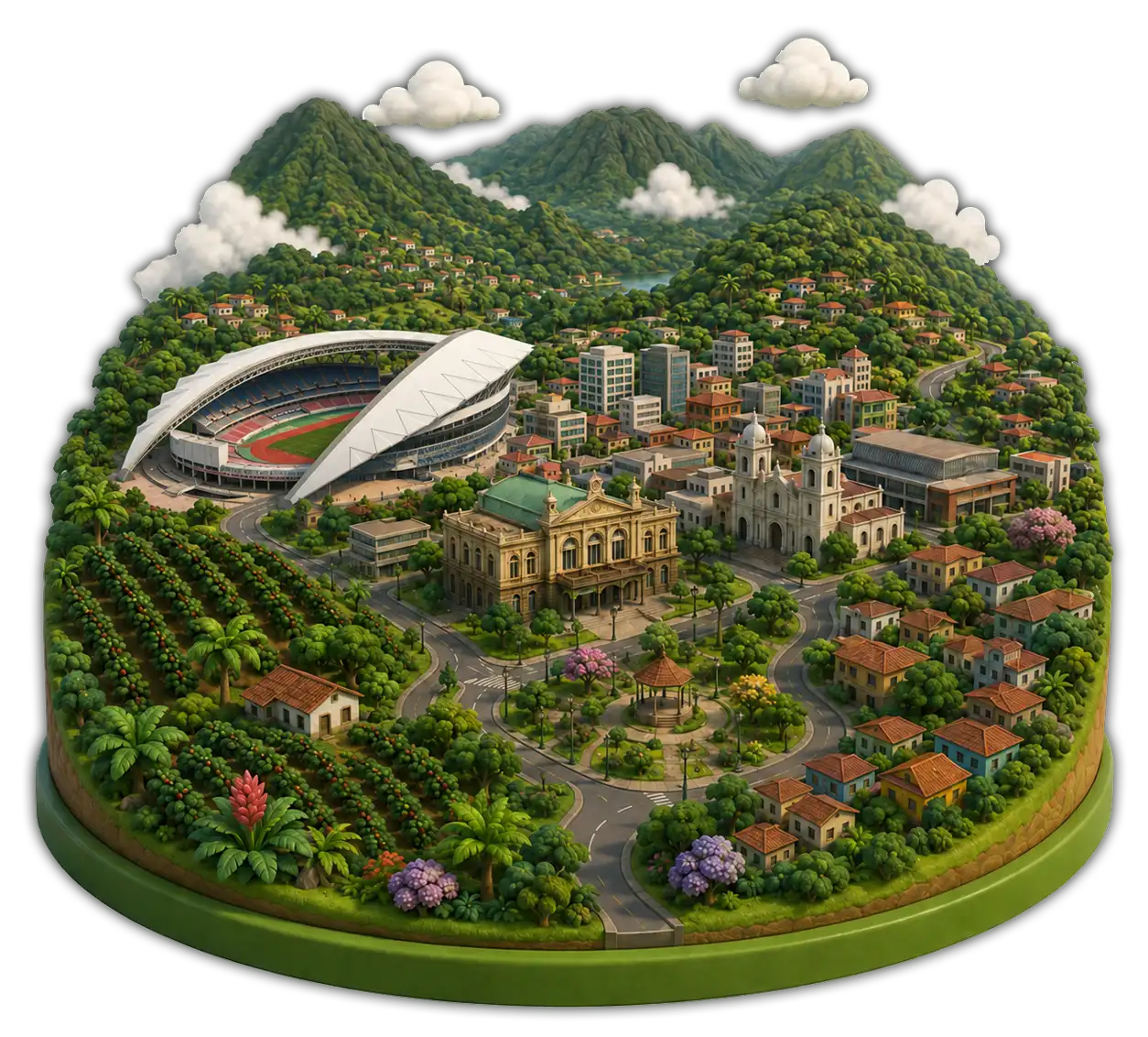
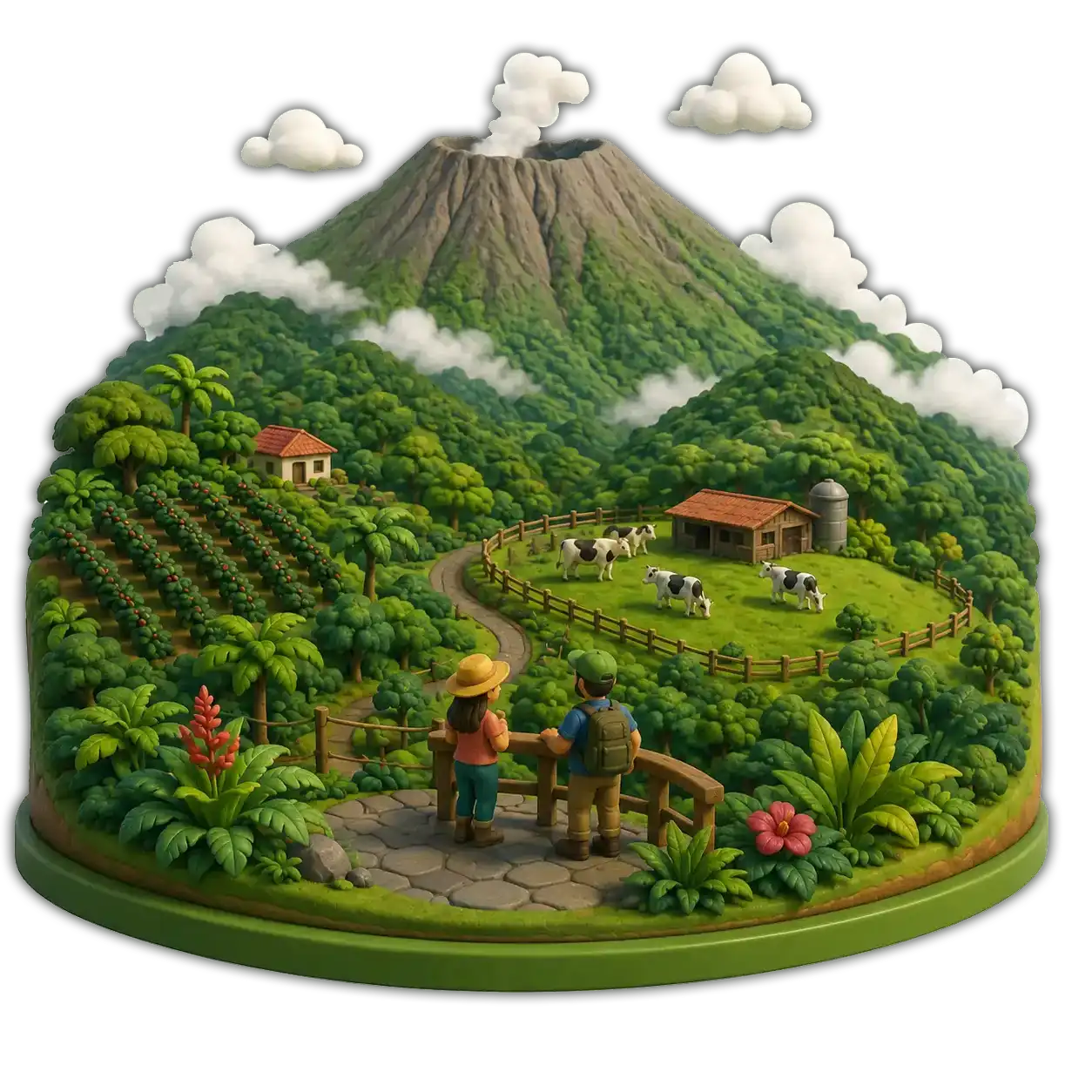
The Central Valley sits between mountain chains at around 1,000 m elevation. It holds the capital, San José, and most of the country's main cities and airports. Mild weather year-round, coffee landscapes on every slope, and easy access to every region — the valley is where most trips begin.
Costa Rica's two coastlines feel almost like different nations — different rhythms, different food, different colors of water.
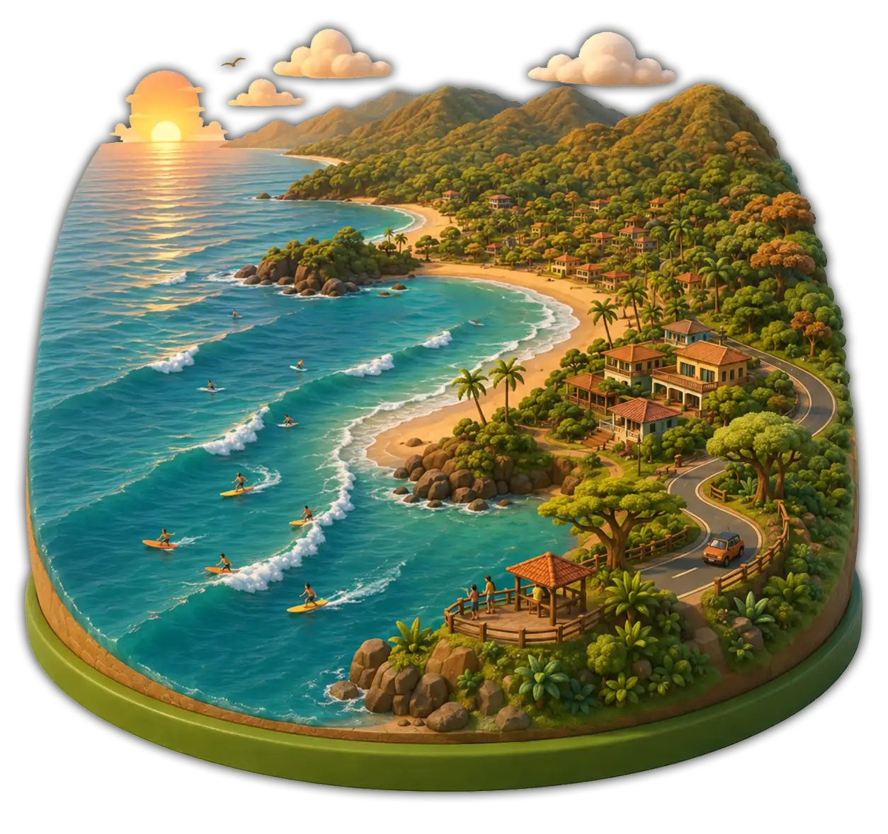
The longer coast — over 1,000 km of beaches, headlands, and protected bays. Known for surfing, golden-hour sunsets, dry-forest beach towns, and the country's most-visited national parks.
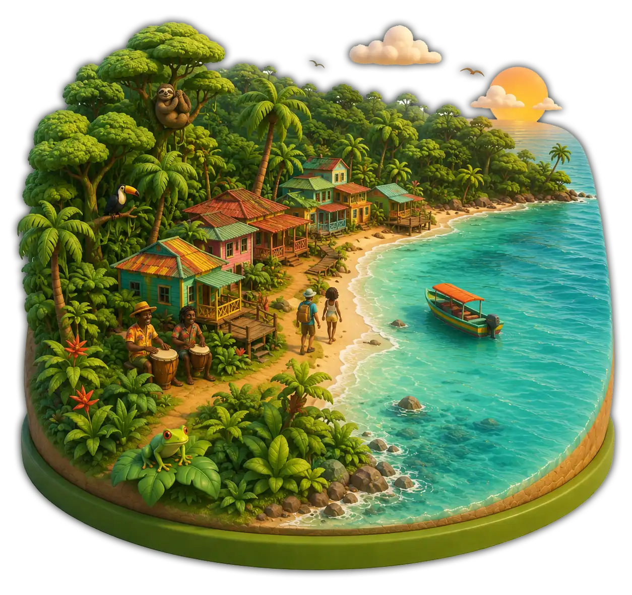
Shorter and wetter, the Caribbean is a green wall of jungle meeting turquoise water. Afro-Caribbean culture, slower travel days, calypso music, and wildlife around every bend.

More than a quarter of Costa Rica is protected. Rivers cut through rainforests, mangroves trace the coasts, wetlands shelter migrating birds, and cloud forests stay damp year-round. These environments are the country's biodiversity engine — and the heart of its ecotourism.
Travelers usually divide the country into seven regions — each one with its own landscapes, climate, and the kind of day it gives you.
Dry tropical forest, surf beaches and sunset skies.
Arenal, hot springs, lake country and lowland rainforest.
San José, the airports, coffee hills and cool climate.
Manuel Antonio, Jacó and the closest beaches to the capital.
Wild Osa Peninsula, Corcovado and uncrowded surf coves.
Afro-Caribbean culture, turtle beaches and slower rhythms.
Cloud forests, Chirripó and cool mountain villages.
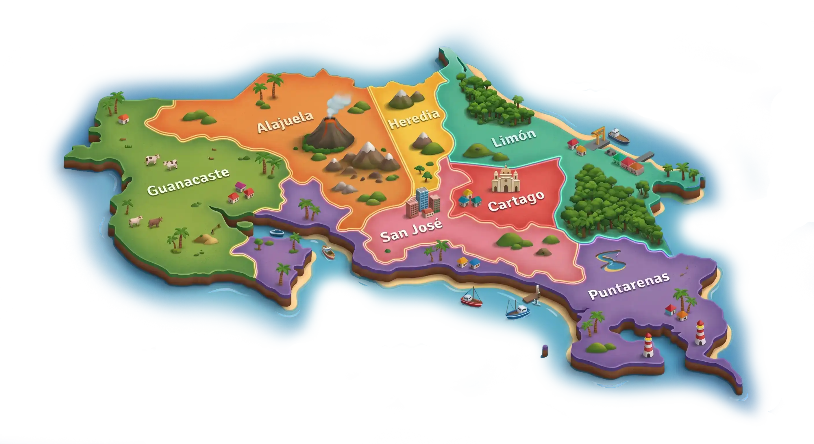
Costa Rica is divided into seven provinces — administrative boundaries used by the government. As a traveler, you'll usually understand the country better through its landscapes and regions than through its provincial borders, but it helps to know the names you'll see on every road sign and address.
The capital province and the country's political and cultural heart.
The international airport, Poás volcano and northern coffee country.
Costa Rica's oldest city and the slopes of Irazú and Turrialba.
Coffee farms, cloud forests and colonial small towns above the capital.
The dry, ranching Pacific northwest — beaches and folklore.
A long Pacific province stretching from Nicoya to the wild Osa Peninsula.
The whole Caribbean coast — culture, jungle and turtle beaches.
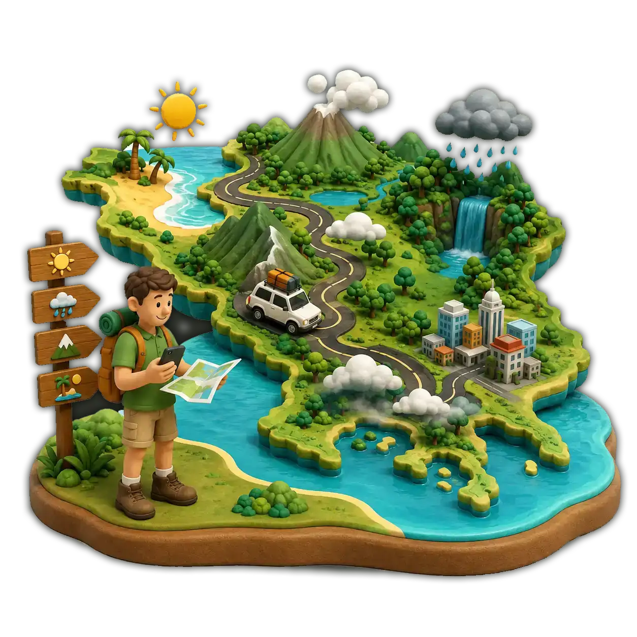
In a country this varied, geography is part of trip planning. A short distance on the map can be a long mountain drive in real life — and a single afternoon can take you across two completely different climates.
Mountain roads, single-lane bridges and slow traffic add time. Always plan for 30–50% more than your GPS says.
It can be sunny on the Pacific while pouring on the Caribbean. Pack layers and a light rain jacket year-round.
The cordilleras divide the country into climate zones. A drive over them is a slow climb, never a straight line.
Cool cloud forest in the morning, hot beach by afternoon. Costa Rica rewards travelers who mix elevations.
An hour of driving here can take you from coffee fields to surf breaks, or from cloud forest to dry savanna.
Costa Rica's geography is one of its greatest strengths. In a compact territory you'll find every kind of landscape Central America has to offer. Open the map and start planning the regions you want to live next.